
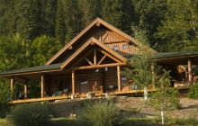


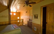
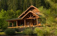
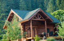


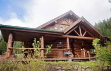

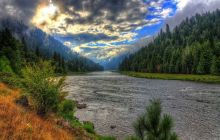
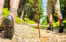
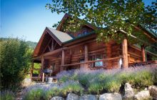
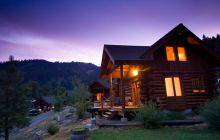
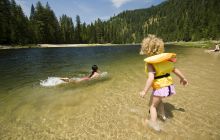
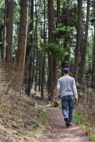
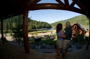
Trails, trails, and more trails. Idaho's Selway-Bitterroot Wilderness is 1.3 million acres of protected Idaho landscape and the doorway to adventure that opens at the River Dance Lodge. Relax in our custom cabins with your own private hot tub each night, and go explore Idaho's vast backcountry each day. There are miles of hiking trails on National Forest land near the adventure resort. Hike up Smith Creek from your cabin and you might see moose, elk, or black bear or, about an hour away, is Selway Falls and the trailhead for Meadow Creek, a beautiful and gentle trail. Our friendly staff will be happy to help direct you to the trailhead.
We are also happy to arrange guided hiking adventures for our guests. Each adventure is designed to accommodate your individual or group's skill level. Our guides are trained in interpretation which brings the area to life for you. Learn about the history, plant life, and wildlife of North Central Idaho. Note that all guided adventures require advance reservations.
Our activity managers are very knowledgeable about the area and will be happy to help you with driving directions or share their hiking expertise.
Below, find some of our very favorite hikes near River Dance Lodge:
Up the Selway River Road
These hikes are accessed by driving 7 miles upriver to the confluence with the Selway and Lochsa River at the hamlet of Lowell. Turn right on the bridge that crosses the Lochsa at the confluence. Proceed up the Selway River Road.
O’Hara Creek – Headed up the Selway road the first bridge you come to is the Swiftwater Bridge after about a mile. Continue another four miles to the Moose Creek Ranger District and Fenn Ranger Station where you can stop for maps and directions. A mile or so past this is the O’Hara Creek Bridge. Cross this and continue about 3.5 miles up the Hamby Road (#651). Look for Trail #713. This is not a loop hike but is an easy day hike opportunity.
Stillman Point – As above, cross the O’Hara bridge and go into the campground. Look for the trailhead for Trail #335. This is a moderately difficult hike but is not a loop so you can turn around where you want. Starting at the campground you rise steeply from 1580’ to 5070’ and then drop to 4840’ to end at an old fire lookout. The total distance to and from the lookout is six miles.
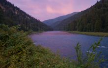
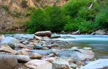
Selway River Trail – 18 miles up the Selway you’ll come to Selway Falls. This is most spectacular in the spring when the water is high and in mid to late June you can see Salmon jumping up the falls! Even at low water, it’s an impressive sight. Continue past the falls and stay on the north side of the river (don’t cross the bridge) and you will come to a parking area where trips on the Selway River end. Continue to the Race Creek Campground. The trail goes some 25 miles following the Selway to the Moose Creek Ranger Station and beyond. It’s a well-maintained trail. Two miles in you reach the boundary of the Selway-Bitterroot Wilderness and no bikes or motorized use is allowed after this point. Nice swimming beaches along the way. Watch for rattlesnakes.
Meadow Creek – As above, pass Selway Falls, but then turn right and cross the bridge over the Selway on Road 290. Go to the Sims Campground parking area and park. This is a moderate and good day hike that follows Meadow Creek the first three miles. Then it begins to climb. Mountain Bikes are allowed on the first three miles only.
Up the Lochsa River
For these hikes head east on Highway 12 for 7 miles to the confluence with the Lochsa and Selway. Continue on Highway 12 through the hamlet of Lowell where you can gas up at the Cougar Canyon Store. The River Dance Lodge is at milepost 90. Going up the Lochsa the numbers increase.
Pete King Creek – Milepost 100 and 3 miles upriver from the confluence you’ll see a sign for Pete King Creek Road. Turn left and drive as far as you want or can. Park and start hiking at any point. This is fairly level but also exposed so best done in the early morning or late afternoon. At some point, the road ends and turns into a trail. This trail connects to the Smith Creek Road and Fire Lookout.
Lochsa River Historical Trail - Built in the 1920s and traveled on foot and horse, this trail preceded Highway 12 by nearly 50 years. There are several access points along the 16-mile trail, so you can do shorter or longer hikes as you wish.
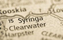
A) Drive east on Hwy 12 from Syringa to milepost 111.4 and the Split Creek Trail access point which is the most western point. From here to the most eastern point at Sherman Creek is 16 miles.
B) Beaver Flat Trailhead at milepost 118 accessed on the north side of Highway 12 from Beaver Flat Road. Be careful when turning onto this road which is located at a curve in the highway. The trail access is on the flat’s north side.
C) Snowshoe Falls, milepost 117.6. Park in the pullout on the riverside of Highway 12 and then carefully cross the highway on foot to a short, steep climb to the Lochsa River Trail. Head west 1/4 mile to Snowshoe Falls.
D) At Fish Creek Road, milepost 120.1, there’s a huge pull-out and popular launching point for rafting trips. Cross the highway to find the trail.
E) At the Lochsa Historical Ranger Station you may also access the trail.
Stanley Hot Springs – This is a 10-mile roundtrip hike that climbs 1620’ and is moderately difficult. Get an early start! Go to roughly milepost 123 and the Wilderness Gateway Campground Entrance. Cross the Lochsa River and go past Loops A and B and the amphitheater to the Trail 211 Parking Area. Trail 211 climbs a few switchbacks and then crosses a hillside well above Boulder Creek. After two miles you enter the Selway-Bitterroot Wilderness. There is not much shade on the trail but great views up and down the wide river valley. Along the trail, you’ll find thimbleberry, bracken ferns, and other bushes as well as stands of fir and pine. After five miles you’ll come to a signed trail junction. Take the right fork (Trail 221) marked “To Huckleberry Flat.” The trail drops downhill to cross Boulder Creek and enters a thick forest area with the moss-carpeted ground. Continue south along the edge of Huckleberry Creek and you’ll come to the soaking pools in a large clearing above the trail. This is a fragile area so please tread lightly. The elevation at the springs is 3600’.
Weir Creek Hot Springs – This is an easy ½ mile hike off the highway. Go east on Highway 12 to milepost 142. Just east of the mile marker is a pull out on the left side of the road. Park and follow the trail. At points it is high above the creek, then drops down to the creek. Beware of slippery places. The elevation at the springs is 2900’ and it is an undeveloped site, clothes optional, first-come, first-serve in the pool.
Jerry Johnson Hot Springs – 65 miles east of the River Dance Lodge, this is an easy one-mile hike each way to the three pools that are quite lovely and popular. Around milepost 152 you’ll see a parking area for the Warm Springs Pack Bridge. Walk across the pack bridge and take Trail 49 about one mile to the Springs.
If you get this far east on Highway 12 you might want to consider some more exploring in the area. At milepost 160 is the Lochsa Lodge, a nice place to stop for lunch. About six miles further is the DeVoto Memorial Grove – a stand of cedar trees, some over 1000 years old. There is a wonderful ¼ mile loop trail with interpretive signs about the forest ecosystem. At Lolo Pass is the Lewis and Clark Interpretive Center. This excellent display has information on Lewis and Clark, the forest, Native Peoples, and much more.
Happy Exploring! If you're looking for more specific information, please feel free to contact the Ranger Station at 208-926-4258.
Packages that Can Include Guided Hiking
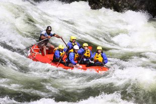
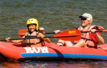
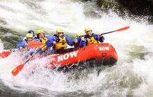
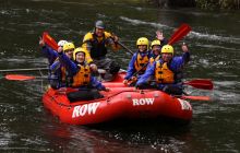
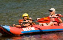
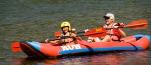
Lochsa Rafting Packages
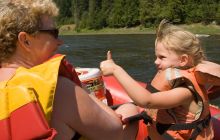
In May and June, the thunderous Lochsa River provides one of the wildest whitewater rides in the world.
Summer: Mountain & River Discovery
The Mountain and River Discovery package is a five-day/four-night journey of this unbelievably gorgeous region.
Summer: Wild West Getaway
A four day/three night Wild West getaway experience with activities, log cabins, and fun!